14 Haziran 2012 Perşembe
Pinnacles National Monument, CA
To contact us Click HERE
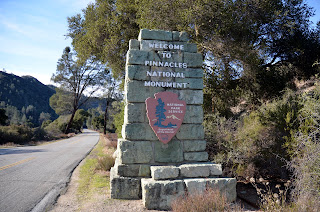 From Wiki: Pinnacles National Monument is a protected mountainous area located east of central California's Salinas Valley, just miles from the town of Soledad. The Monument's namesakes are the eroded leftovers of half of an extinct volcano. The Monument is divided by the rock formations into East and West Divisions, connected by foot trails; there is no through road that connects the east and west entrances to the park. The east side has shade and water, the west has high walls. The rock formations provide for spectacular pinnacles that attract rock climbers.
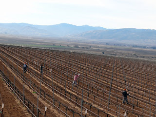 Why am I showing you a pic of a vineyard you might ask? Well, if you have ever driven the 80 miles from Paso Robles to Salinas (Salinas Valley) along Route 101, you know. I never counted, and for sure have no clue, but there must be a thousand vinyards. And this one is typical of the many you'll see. These guys appear to be maintaining/pruning the vines and the supports. Note the freshly cultivated soil. And the soil is so richly a brown color, from the centuries old lava fields. OK, on to the Pinnacles pics, and we have plenty.
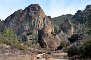
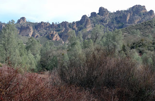 Above is from the parking lot of the west pinnacles. Below, Nancy wedging her way thru the boulders.
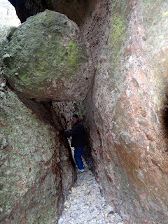
 The Balconies Cliffs/Caves trail was not an easy one to manuever for old folks. It was a little tough on the knees and feet as these rocks and massive boulders were not easy to negotiate.
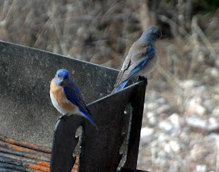
 Managed to catch Mr & Mrs Bluebirds sitting on a grate.
 And this large Northern Flicker woodpecker (I think) below was making a lot of noise on this dead wood.


 All the pics up to this point have been from the west side. I think the rest will be from the east side. And I might add, that the drive from the west side to the east side was about 60 miles, through King City. And this is in addition to the 50 miles we drove from Monterey to Soledad/West Pinnacles.
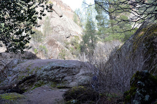 Below, Nancy blazing our trail.
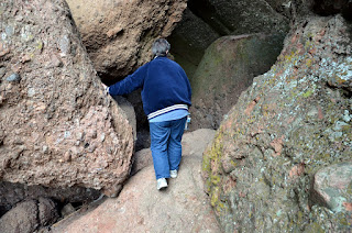 Her knees aren't the greatest, as she tweaked one last year at Fort Bliss in El Paso, and it hasn't been 100 per cent since. So she has to be careful and go slow.
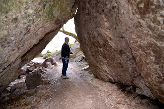
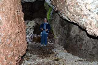 There were a couple of cave-like passages where we had to use flashlights to see our way thru.
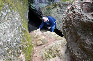 Above, Nancy working her way down, or was it up? I forget.
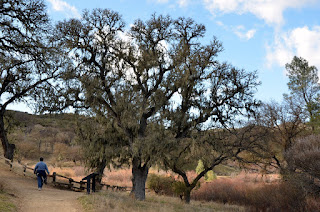 On our way back to the parking lot (west side).
 It was pretty dark, low ceilings and wet in a lot of these passages. A little uncomfortable at times, and in one of the caves, we heard an alien pounding a rock against the sides of the mountain, somewhere up in front of us. At least that's my story! We didn't go much further. We found out later it was one of the rangers working on some step replacements.
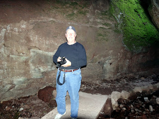
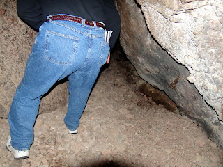
 Below, Nancy caught me just as I was ducking into one of the low passages. Not my better side. Bigger perhaps, but not better! :-)
 Below a couple of rangers returning from a long trip up to the high peaks area. They go there, as we learned later, peridically to clean and add water toa couple privies there, and three mules and two horses is the only way in and out and it takes all day to do it. Wow, what an opportunity!
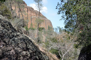
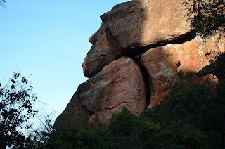 OK folks, it's time to get your imagination caps on, okay? Click on the above pick and tell me what you see in the pics. Do you see a gorilla in the higher rock formation to the left? And do you see the Labrador Retriever just below the gorilla? Neat huh?
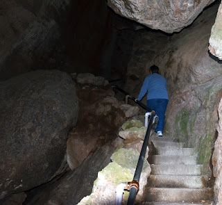 Above, Nancy marching right up near the end of where we heard the alien hammering on the mountain. It was pitch black above her, but the steps and trail actually went on for about another mile. But it was late and we had to hike back about a mile.
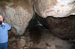 Nancy was quite the trooper!


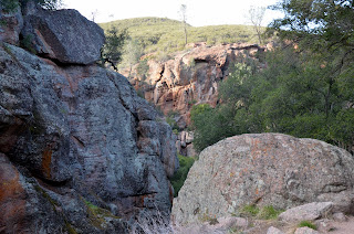 So ends our day trip (Feb 1) to the Pinnacles National Monument. It was a great day in the mountains south of Hollister and east of Soledad. We left the east side, which has a very nice RV Park & campground as well as a day use area, and we drove the 35 miles to Hollister for a salad & pizza at the Round Table, and then another 45 miles on back to Monterey. It was late, around 7, when we returned, and we were bushed. So, until the next blog, RVing Beach Bums.
Kaydol:
Kayıt Yorumları (Atom)
Hiç yorum yok:
Yorum Gönder