14 Haziran 2012 Perşembe
Sequoia National Park
To contact us Click HERE
 We left the beautiful Monterey Pennisula area Wednesday (2/15) and drove straight to Horse Creek Campground. It is operated/maintained by the Army Corps of Engineers and is situated east of Visalia, CA about 15 miles. Next to the campground is Lake Kaweah which is in winter draw-down mode. We are also just west about 5 miles of the Sequoia NP. Thursday morning and we were up and headed for the Park. The road in the park on the way to the Sherman Tree, is undergoing some major construction as weather and age has taken it's toll on the pavement.
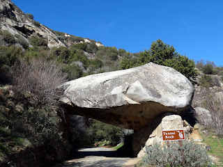 On the way to the visitor's center, we snapped a few pics. Above is the old roadway under the large rock. Notice the large scars on the under side of the rock where vehicles have scrapped trying to go through.
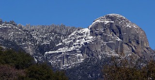 Just beyond this part of the Sierra Nevada's, lies Lone Pine, CA, one of our favorite places, and just beyond that about 80 miles is Death Valley.
 From Wiki: Sequoia National Park is a national park in the southern Sierra Nevada east of Visalia, CA. It was established on September 25, 1890. The park spans 404,051 acres. Encompassing a vertical relief of nearly 13,000 feet, the park contains among its natural resources the highest point in the contiguous 48 United States, Mount Whitney, at 14,505 feet above sea level. The park is south of and contiguous with Kings Canyon National Park. The park is famous for its giant sequoia trees, including the General Sherman tree, the largest tree on Earth.
 Did I mention road construction? Wow, half the roadway was missing in several places.
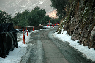 Oh, I forgot to mention the snow. The Park, and General Sherman Tree is at approx 7000 feet, so, it snows a lot there. We were lucky to make it here this time of year with only 18 inches of snow here. Last year at this time they had 15 FEET of snow on the ground!
 Wuksachi Lodge near the General Sherman tree.
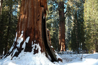


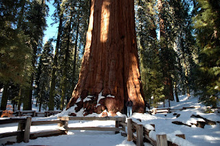 This behometh makes me look small. And I like that!


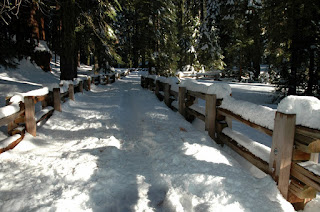 Walking was a little tricky along the trail.


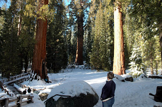 Even though the pics looks like the temps are freezing, actually, it wasn't bad. The temps were around 40, and no wind at all, with a bright sun. So, it was ok for walking and enjoying the beautiful scenery. One cannot fathon the size of these guys. Average height: 250 feet. Average width: Two highway lanes (General Sherman is three lanes wide at the base.)


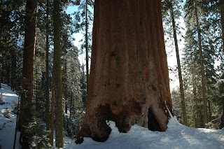

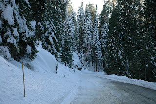 I had to be careful on the icey roads.
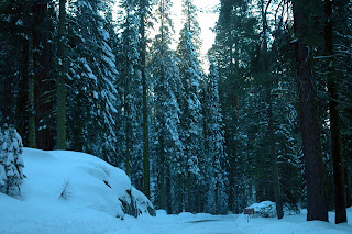 The snow made a nice contrast for the trees and landscapes. We were so glad we could be here in February.
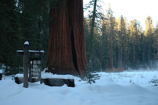 I went down this trail for about 200 yards, in deep snow (Nancy stayed in the Jeep) to take the next few pics. Note the rising steam/fog in the meadow lowland.

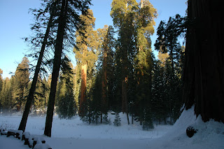 The setting was so serene! It was soooo quiet and no wind at all.
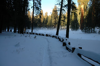
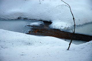 I was all alone in this low, wet meadow. No one to impede my thoughts and wonderment and amazement at such magnificent nature, at it's very finest. And it was all mine, if only for a fleeting moment, when one considers that some of these trees are over 2200 years old.


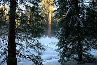 So many photo ops and so little time, it seems. I could have stayed till dark, and nearly did!


 Back at the Jeep, and time to mosey on down the mountain and the one lane road to the RV.
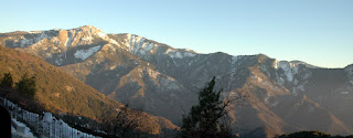 On the way down the setting sun reflected off the grandeur of the Sierra Nevada's.
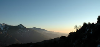
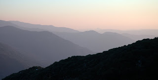 Postcard possibilities?
 Solid granite mountain. Well, so ends our day and blog on the Sequoia NP. What a neat day of refreshing beauty and cool crisp air. We will always hold in our memories the awesomeness of this place. The Native Americans have lived in this area, as they all over North America, for many centuries. I can see why they were here (and still are). Just to the west are countless citrus and nut orchards, many of which are operated by their descendants. Amazing! Till the next blog, RVing Beach Bums.
Kaydol:
Kayıt Yorumları (Atom)
Hiç yorum yok:
Yorum Gönder